Data Sources
Discover our curated collection of Data Sources on various categories like: GIS Vector Data, Satellite Imagery and much more.
Satellite Imagery Data Sources
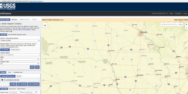
USGS Earth Explorer
Data Types: Landsat optical, declassified spy (e.g. CORONA) imagery, hyperspectral (e.g. Hyperion)
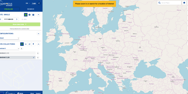
Sentinel / Copernicus Browser
Data Types: Sentinel-2 (optical multispectral), Sentinel-1 (SAR)
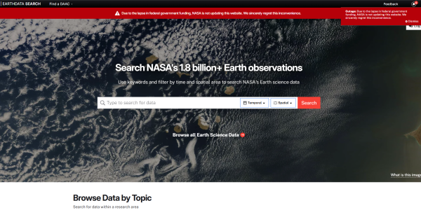
NASA Earthdata Search
Data Types: Derived Earth science products, land cover, atmosphere, biosphere, cryosphere, etc.
NOAA Data Access Viewer
Data Types: Satellite imagery, aerial imagery, LiDAR (especially for coastal regions)

Maxar Open Data Program
Data Types: High-resolution optical (for disaster / emergency events), sample data including true color, stereo, building footprints, elevation

Geo-Airbus Defense
Data Types: Optical (SPOT, Pleiades), Radar (TerraSAR-X), DEM (WorldDEM)
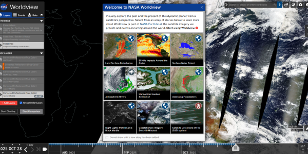
NASA Worldview
Data Types: Scientific satellite product layers (hazards, climate, atmospheric, disaster) — can download associated data layers (GIS Geography)

NOAA CLASS (Comprehensive Large Array-data Stewardship System)
Data Types: Oceanic imagery, atmospheric imagery (e.g. GOES, POES), environmental/climate products (aerosols, ozone, etc.)
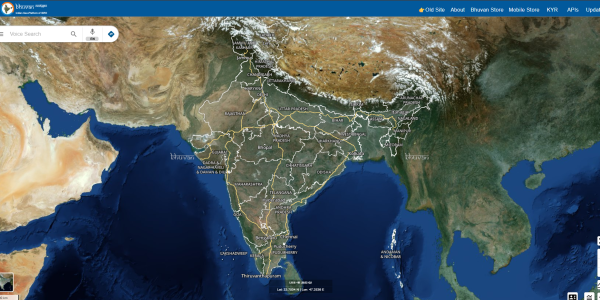
Bhuvan Indian Geo-Platform (ISRO)
Data Types: Indian satellite imagery (IRS, Cartosat, ResourceSat, OceanSat), NDVI, elevation models (CartoDEM)
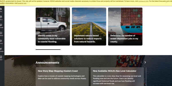
NOAA Digital Coast
Data Types: Coastal datasets including imagery, elevation, land cover, radar, infrared, true color composites, and socio-economic data for coastal zones
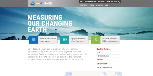
UNAVCO (SAR Archive / Geodesy Data)
Data Types: Synthetic Aperture Radar (SAR) data, geodesy / tectonic data, radar imaging for earth science applications
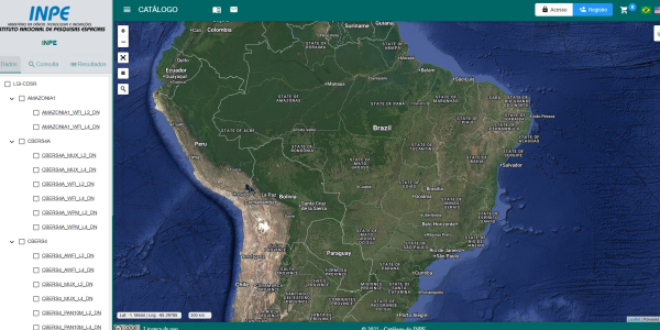
INPE (Brazil’s National Institute for Space Research)
CBERS satellite imagery (optical), ResourceSat, UK-DMC, other joint mission data (especially for South America & Africa)
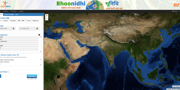
INDIAN SPACE RESEARCH ORGANISATION (ISRO)
Bhoonidhi EO Data Hub - Indian Space Research Organisation (ISRO)
GIS Data Sources
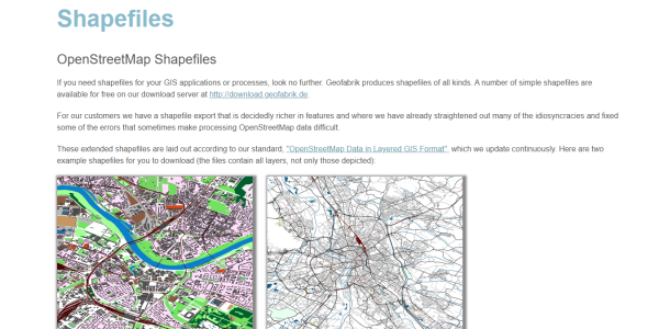
Geofabrik (OSM Extracts)
Free OpenStreetMap shapefile extracts by continent and country.
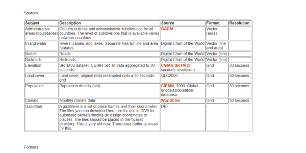
DIVA GIS
Country-level boundaries, roads, rivers, elevation, and land cover.
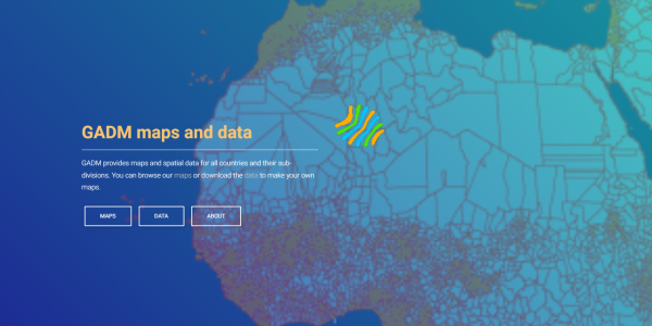
GADM (Global Administrative Areas)
Detailed administrative boundaries for all countries.
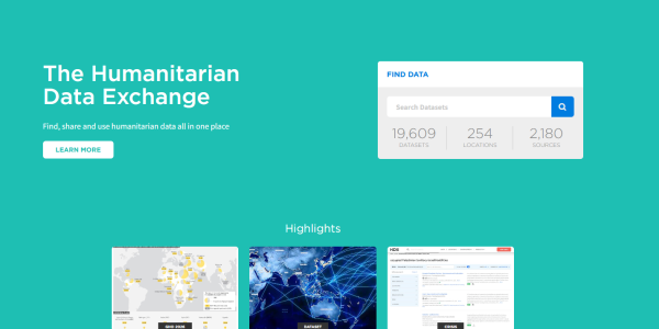
Humanitarian Data Exchange (HDX)
Datasets covering humanitarian crises, disasters, and development.
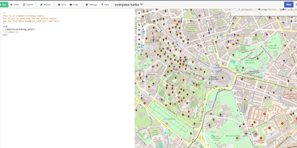
Open Street Map - Overpass Turbo
Extract shapefile-ready features using custom OSM queries.

Mapcruzin
Environmental, demographic, and infrastructure shapefile datasets.
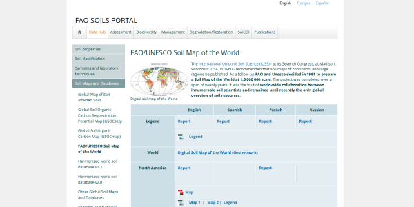
FAO/UNESCO Soil Data
Global soil datasets at 1:5,000,000 scale.
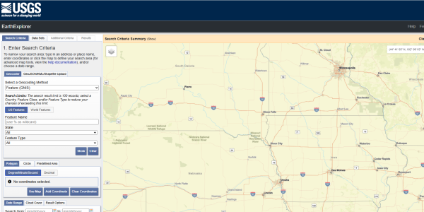
USGS
Worldwide geological and geospatial datasets.
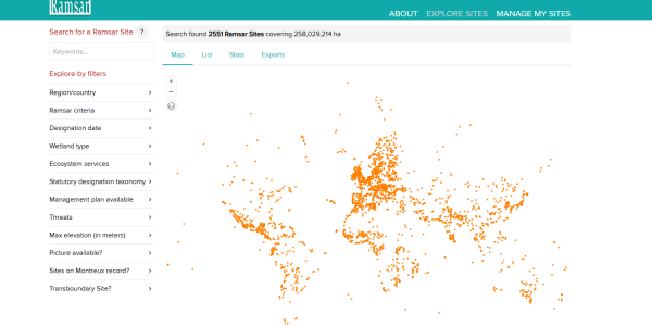
Ramsar Sites
Wetlands of international importance with spatial boundaries.
More Data Sources
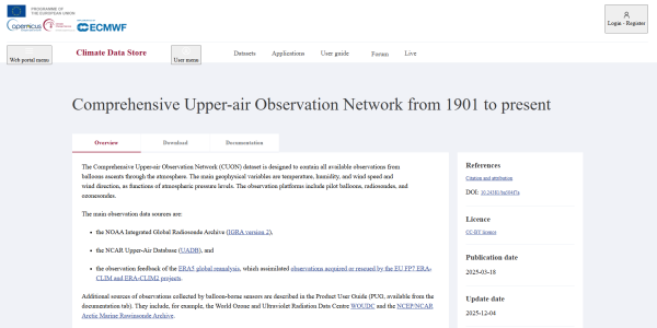
Comprehensive Upper-air Observation Network (CUON)
The Comprehensive Upper-air Observation Network (CUON) dataset is designed to contain all available observations from balloons ascents through the atmosphere.
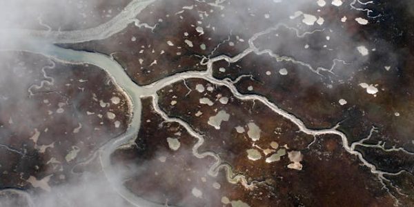
Sri Lanka - Waterways
This repository brings together several key geospatial datasets in a single, ready-to-use environment for analysis, experimentation, and educational purposes.


